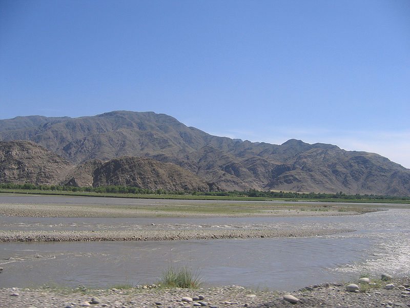
Kunar River
The Kunar River is about 480 km long, located in eastern Afghanistan and north-western Pakistan. The Kunar river system is fed from melting glaciers and snow of the Hindu Kush mountains. It is part of the Indus / Sindh watershed. It was once called the Kama river.
The river rises in the far north of Chitral District in Pakistan. Downstream as far as Mastuj it is known as the Yarkhun River. From there to its confluence with the Lutkho River just north of the important regional centre of Chitral it is called the Mastuj River. It is then called the Chitral River, before flowing south into the upper Kunar Valley in Afghanistan, where it is referred to as the Kunar River and gives it's name to Kunar Province.
At the confluence of the Pech it meets Asadabad, historically Chaga Sarai, the gateway to old Kaffiristan to the west.
The Kunar River empties into the Kabul River just to the east of the city of Jalalabad in Afghanistan. The combined rivers then flow eastwards into Pakistan, roughly following the Grand Trunk Road through the Khyber Pass, and joining the Indus River at the city of Attock
Source: Wikipedia