

Hystorical maps
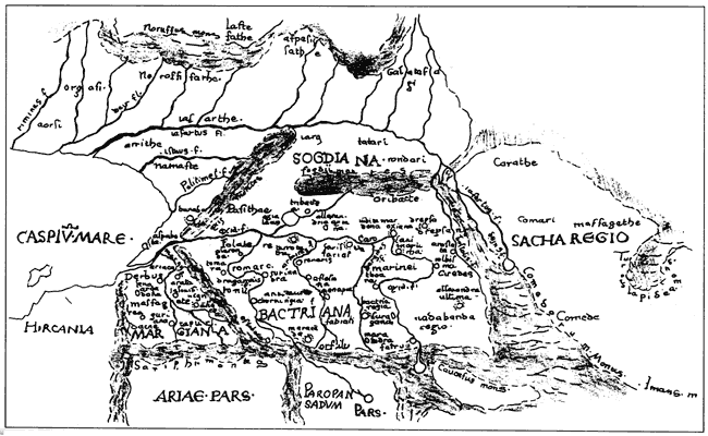
A Map from Ptolemy's "Geography"
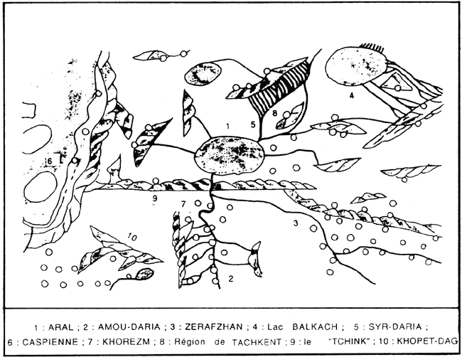
A Layout by Al Idrisi
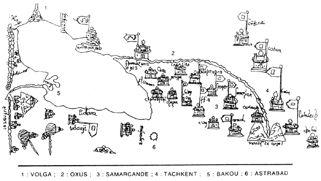
A layout from the Catalan Atlas
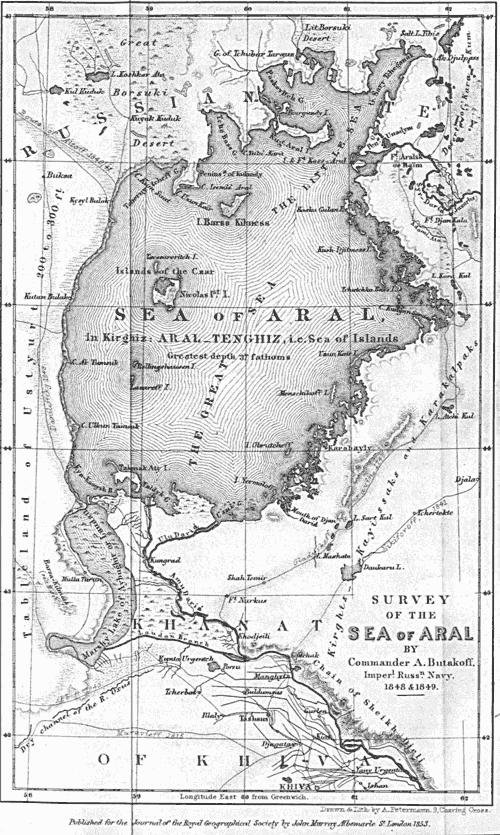
Butakov's Map
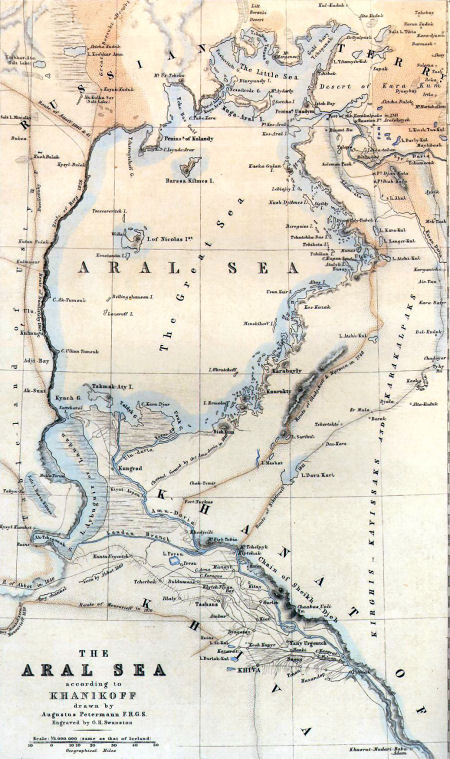
Khanikov's map
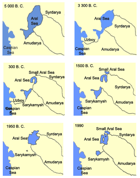
Development of periodic fluctuations in the water area of the Aral Sea over the period from 10000 B.C. to 1990