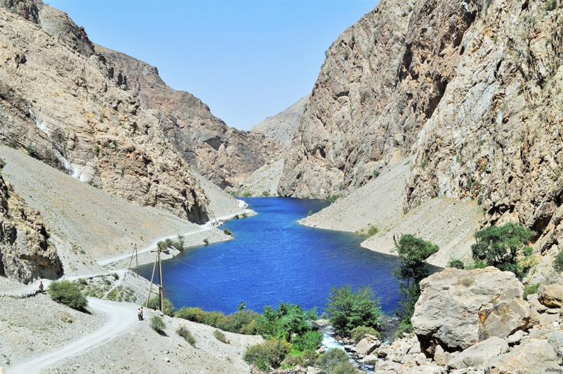
Zeravshan River (also Zarafshan or Zarafshon, from the Persian word zar afshan, meaning "the sprayer of gold") is a river in Central Asia. Its name, "sprayer of gold" in Persian, refers to the presence of gold-bearing sands in the upper reaches of the river. To the ancient Greeks it was known as the 'Polytimetus'. It was also formerly known as Sughd River.
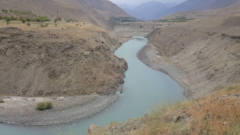
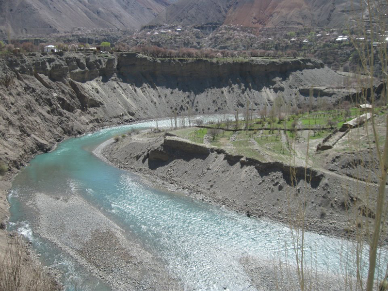
It rises on the fringes of the Pamirs in Tajikistan, flowing due west for some 300 kilometres (190 mi), passing Penjikent before entering Uzbekistan, where it turns west-to-north-west, flowing past the legendary city of Samarkand, which is entirely dependent on the oasis thus created, until it bends left again to the west north of Navoiy and further to the south-west, passing Bukhara before it is lost in the desert beyond the city of Qorakol (Karakul), not quite reaching the Amu Darya, of which it was formerly a tributary.
River length is 800 km, including 300 km on the territory of Tadjikistan. Annual average discharge is 161 m3/s; maximum was fixed on 07.07.1942 as 930 m3/s. River flow observation is carried out since 1913 on gauging stations Dupuli and Saudji in Tadjikistan. Now these gauging stations don’t work (they were destroyed during conflicts in Tadjikistan). The flow is registering on gauging station Ravatkhodja in Uzbekistan (located 320 km below the river beginning). River flow sharply increases in May-June and continues until July when there is flow peak. Flow reduces since August till February-March.
The large-scale irrigated farming in the Zeravshan river basin is mostly based on a well-developed system of irrigation and drainage facilities.
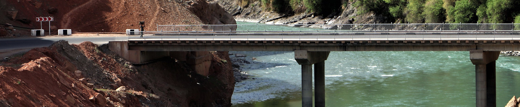
The principal water delivery infrastructure of the Zeravshan river located on the Uzbek territory, and consists of four hydro structures and two dams with water reservoirs.
Hydro structures:
• Ravatkhodja with discharge capacity 1350 m3/s
• Ak-Karadarya (888 m3/s)
• Damkhodja (540 m3/s)
• Narpai (200 m3/s)
Water reservoirs:
• Kattakurgan with total capacity 818.3 mln.m3
• Akdarya (50.0 mln.m3)
The detailed analysis of situation with water supply for irrigated lands and other uses in the Zeravshan river basin shows that there is a considerable deficit in water resources. Allocation of the river flow is a rather complicated task because of extremely unstable hydrograph of the river during twenty-four-hour and ten-day periods as well as due to inaccuracies in calculating the volume of water being lost in the process of withdrawal. Water allocation is based on the principle of equality in water supply volumes for every province depending on the size of irrigated area and efficiency of irrigation networks. Irrigation rate is defined according to average multiyear data.
Water balance of the river for different years
|
N/N |
Components of water balance |
Availability of river flow |
||
|
50% |
75% |
90% |
||
|
1 |
Water resources of the Zeravshan river in gauge «Dupuly+Sudji» |
5103.0 |
4636.0 |
4289.0 |
|
2 |
Total return water and intake from wells |
1520.0 |
1184.0 |
1101.0 |
|
3 |
Total available water resources |
6623.0 |
5820.0 |
5390.0 |
|
4 |
Total water consumption in Tajikistan |
286.0 |
286.0 |
286.0 |
|
5 |
Water resources available for Uzbekistan |
6337.0 |
5534.0 |
5104.0 |
|
6 |
Water allocated to Navoi thermal power station and for industrial/communal use |
1243.0 |
1243.0 |
1243.0 |
|
7 |
Remaining water resources available for irrigation |
5094.0 |
4291.0 |
3861.0 |
|
8 |
The average weighted irrigation gross rate, thousand m3 per hectare |
9497 |
8000 |
7199 |
The main problems in the Zeravshan River Basin are as the following:
• Scarcity of water resources
• Low degree of flow regulation in reservoirs
• Water quality in low reaches
• Water allocation between Tadjikistan and Uzbekistan
• Water allocation between provinces and regions within Uzbekistan
• Bad water flow observation system and lack in good forecasts
• Lack of proper technical facilities for main hydro structures operations.
Sources: SIC ICWC, Wikipedia