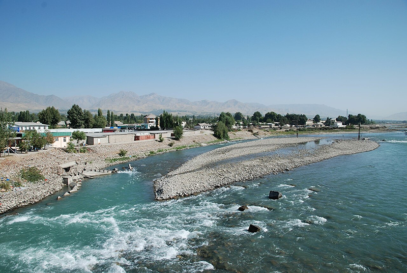
The Amudarya River, formed by the junction of the Panj and Vakhsh rivers, is the largest river in Central Asia and the Aral Sea basin in terms of water content. The length of the river is 2,540 km from the headwater (and 1,415 km from the junction point), while the catchment area is 309,000 km2 (to Kerki town). Three large right tributaries (Kafirnigan, Surhandarya and Sherabad) and one left (Kunduz) flow into the Amudarya river within the middle reach. Further up to the Aral Sea it has not any tributary. It is fed largely by water from melted snow, thus maximum discharges are observed in summer and minimum ones in January-February. Such availability of the flow within a year is very favorable to use water of the river for irrigation. While passing the plain, from Kerky to Nukus Amudarya losses the most part of its flow in form of evaporation, infiltration and withdrawal for irrigation. Concerning sediment transport the Amudarya is the first among all rivers in Central Asia and in the top in the world. The main flow of the Amudarya river is originating on the territory of Tajikistan. Then, the river flows along the border between Afghanistan and Uzbekistan, then it flows across Turkmenian territory and again it returns to Uzbekistan, where it discharges into the Aral Sea. About 14.6 % of Amudarya water is formed on the Afghan territory and in Iran. About 8.5% of the Amudarya flow is formed in Uzbekistan.

The main specifics of the Amudarya river basin is that the most territories with favorable natural and economic conditions for irrigated farming are located far from the main river and their available water sources are very limited. These are Karshi Steppe, Bukhara region, southern part of Turkmenistan. To provide water delivery for development of those territories there were constructed unique canal systems.
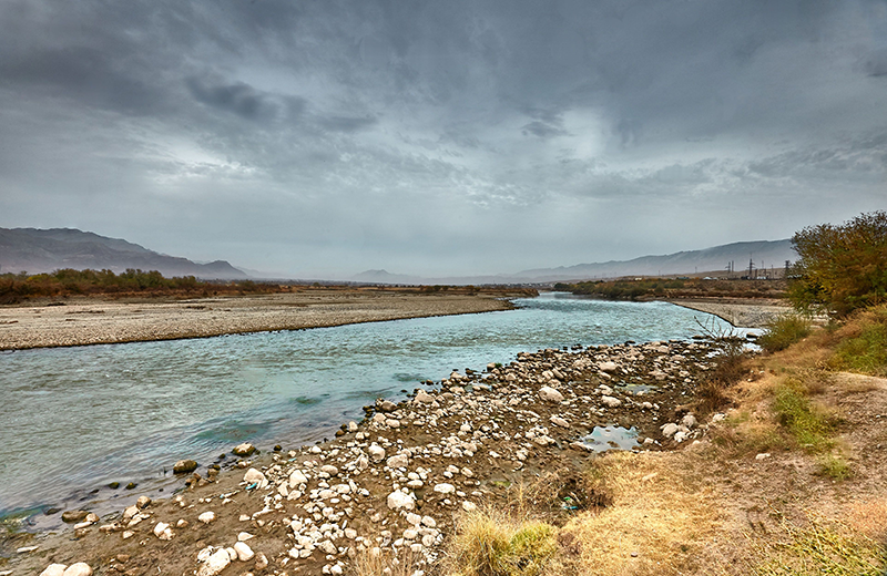
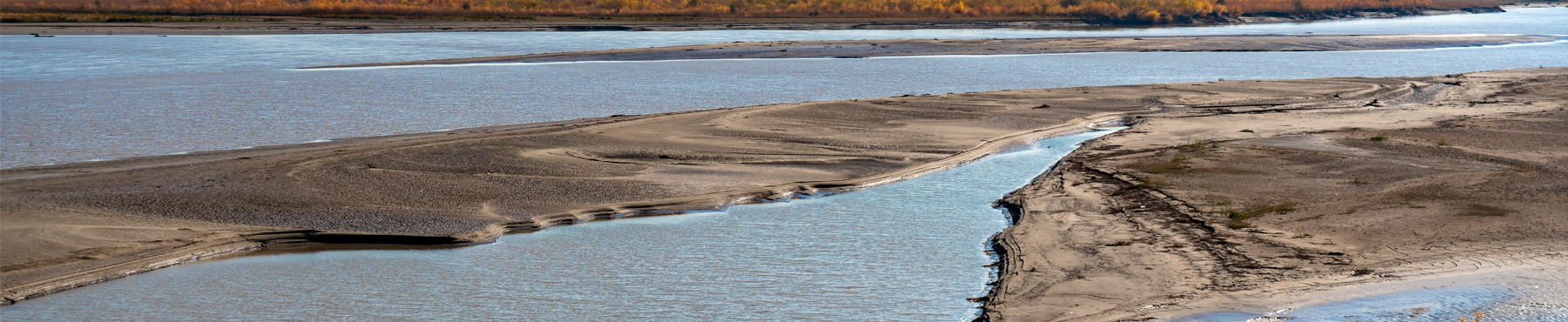
The delta zone of the Amudarya lies downstream from Nukus city. It constitutes a slightly sloping plain with many channels. The delta as such is formed by numerous arms (Taldyk, Kazakhdarya, etc.). Its area totals about 7,000 km2. Starting from the mid 1960s the surface flow of the Amudarya stopped reaching the Aral Sea in dry years. As a result of decreased water flow into the delta and retreat of the coastal line of the sea, about 50 water bodies (lakes) have dried up. However, in result of water saving policy during last 8 years, some water releases into a few lake systems as Kungrad, Sudocye, Mezhdurechye, Karadzhar, Togouztour, Daukempir, Kazahdarya, Dautkol and Atpetk, a total of 99,000 ha in the delta zone, have been gradually restored.
The total mean annual flow of all rivers in the Amudarya river basin (without the Zeravshan) estimated about 74.14 km3. In accordance with flow probabilities at 5% (high wet years) and 95% (dry years), the annual flow ranges from 102 to 55.1 km3.
Natural surface flow in the Amudarya River basin (mean annual runoff, km3/year)
| River basin | River flow generated within the countries | Total Amudarya Basin | ||||
| Kyrgyzstan | Tajikistan | Uzbekistan | Turkmenistan | Afghanistan and Iran | ||
| Pyandj | — | 31.089 | — | — | 3.200 | 34.289 |
| Vakhsh | 1.604 | 18.400 | — | — | — | 20.004 |
| Kafirnigan | — | 5.452 | — | — | — | 5.452 |
| Surkhandarya | — | 0,320 | 3.004 | — | — | 3.324 |
| Kashkadarya | — | — | 1.232 | — | — | 1.232 |
| Zeravshan | — | 4.637 | 0.500 | — | — | 5.137 |
| Murgab | — | — | — | 0.868 | 0.868 | 1.736 |
| Tedjen | — | — | — | 0.560 | 0.561 | 1.121 |
| Atrek | — | — | — | 0.121 | 0.121 | 0.242 |
| Rivers of Afghanistan | — | — | — | — | 6.743 | 6.743 |
| Total (km3) | 1.604 | 59.898 | 4.736 | 1.549 | 11.593 | 79.280 |
| Amudarya Basin (%) | 2.0 | 75.6 | 6.0 | 1.9 | 14.5 | 100 |
Source: Sokolov V.I. Delineation of the boundaries of transboundary, local, and mixed-type surface water catchments in the Aral Sea basin and their quantitative assessment // Development of key components of ICWC policy on rational water use and water protection in the Aral Sea basin (Collected papers of SIC ICWC, Issue 2, 2000)
Estimated regional reserves of groundwater in the Amudarya basin are about 14.7 km3. Because exploitation of groundwater can have an impact on surface water flows, the quantification of groundwater resources must, therefore, be careful to identify that portion of the reserves that could be used without significantly diminishing surface runoff. The reserves confirmed for extraction are estimated at 7.1 km3 per year. Total actual (1998) groundwater extraction in the Amudarya river basin was about 4.8 km3.
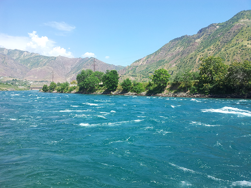
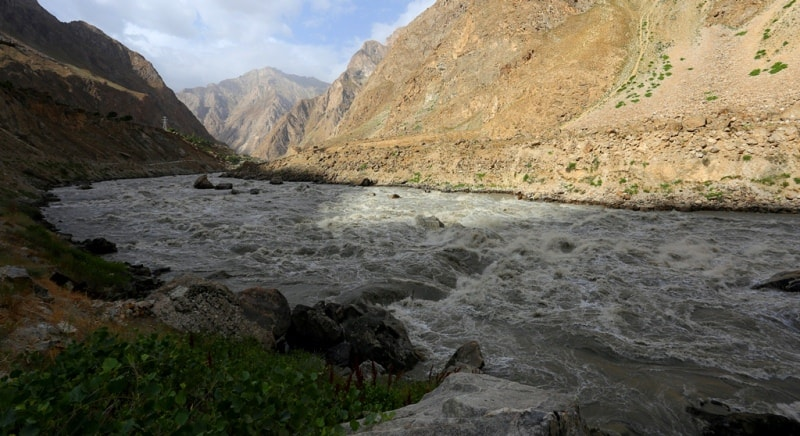
Vakhsh also known as the Surkhob in north-central Tajikistan and as the Kyzyl-Suu in Kyrgyzstan, is a Central Asian river and one of the main rivers of Tajikistan.
The catchment area of the Vakhsh is 39,100 km2, of which 31,200 km2 (79.8%) lies within Tajikistan. The river contributes about 25% of the total flow of the Amu Darya, its parent river. Its average discharge is 538 m³/s, with an annual discharge of 20.0 km³. However, since the Vakhsh is fed mostly by melting snow and glaciers, these flow rates have great seasonal variability between winter and summer. Measurements at the Nurek Dam indicate that winter flow rates average around 150 m³/s, whereas flow rates during the summer months can exceed 1500 m³/s – a tenfold increase.
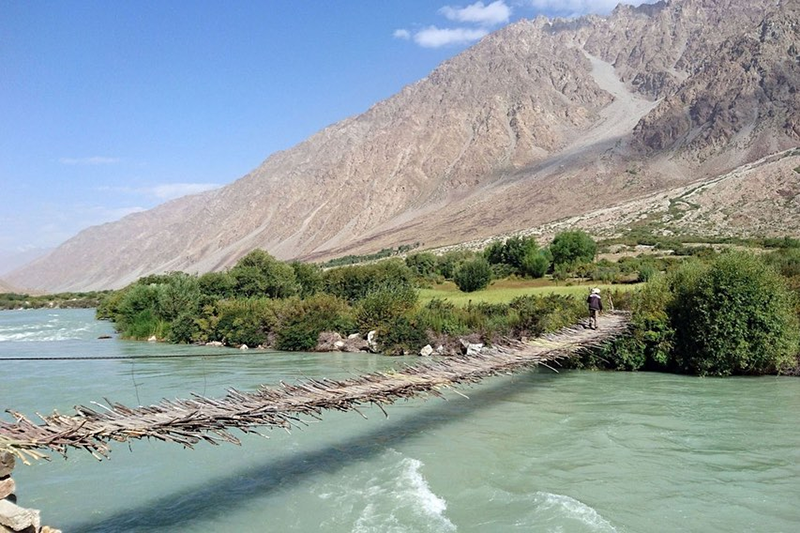
Panj is a river in Afghanistan and Tajikistan and a tributary of the Amu Darya. The river is 921 kilometres long and has a basin area of 114,000 square kilometres. The river is formed by the confluence of the Pamir River and the Wakhan River. From there, it flows westwards, marking part of the border of Afghanistan and Tajikistan.
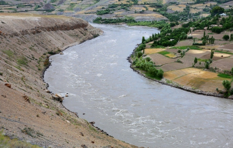
Kafirnigan (Kofarnihon) is one of the major tributaries of the Amu Darya. The river is 387 kilometres long and has a basin area of 11,600 square kilometres. It rises on the southern slopes of Gissar Range in Vahdat district, formerly Kofarnihon district, and flows in the general south-western direction.
For part of its course, it forms the border between Tajikistan and Uzbekistan. Its main tributaries are the Varzob and Khanaka from the right, and the Elok from the right.