Knowledge Base on Syr Darya river basin
Knowledge Base on Chirchik river basin
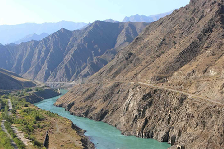
Knowledge Base on Naryn river basin