For many people, the start of a year is a time for new health resolutions – be it eat more vegetables, consume less sugar or drink more water.
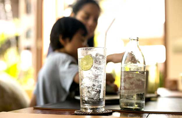
Tasty to drink but not so great for your teeth.
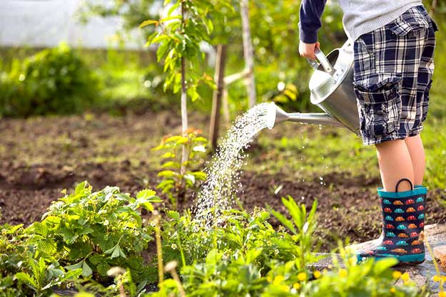
Keeping hydrated is essential for body functions such as temperature regulation, transporting nutrients and removing waste. Water even acts as a lubricant and shock absorber for joints.
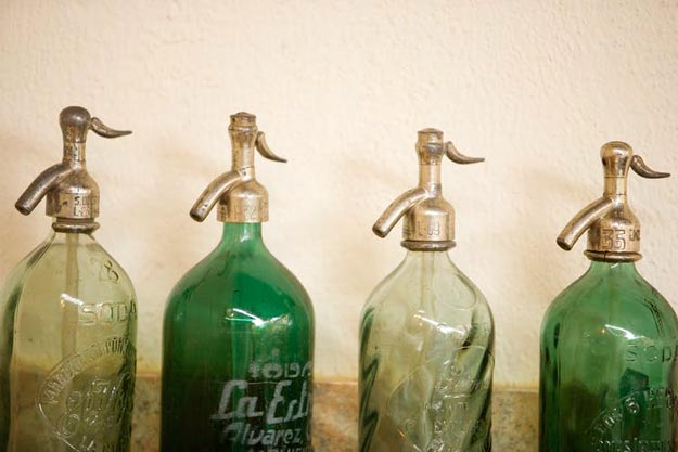
But while most people know they should drink more water, it can be a bit boring. So what about sparkling water as an option to liven things up a bit? After all, sparkling water is just as good as normal water, right? Not quite. Read more