Did you know…? Facts and figures about the Pacific Islands

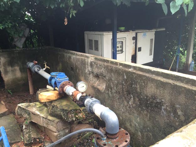
  • There are about 30,000 islands in the Pacific Ocean, only 2,000 of which are inhabited. Many of the populated islands are less than 10 km2, while some, especially atolls, are less than 1 km2.The 18 Pacific Island countries and territories considered in this study account for 550,000 km2 of land and some 7 million inhabitants spread across 180 million km2 of ocean – about 36% of the earth’s surface. Read more

Facts and figures about Sudan

  • Annual rainfall varies from 25 mm in the Sahara desert, in the north, to over 1,500 mm in the south.
  • Sudan is so vast (about 2,000 km from north to south and 1,800 km from east to west) that it lies in multiple climatic zones. In the north, where the Sahara extends into much of the country, the climate is arid, while the south is influenced by a tropical wet-and-dry climate. This variation directly affects rainfall: a rainy season runs from April to October in southern Sudan, but the rainy period gradually diminishes in length towards the north, and rainfall is scarce in the far north.  Read more

Did you know…? Facts and figures about the La Plata River Basin

  • Extending over 3.1 million km2, La Plata River basin is the second largest river system in South America and the fifth largest in the world. Shared by Argentina, Bolivia, Brazil, Paraguay and Uruguay, it covers about one-fifth of South America. With over 100 million inhabitants, close to 50 big cities and 75 large dams, La Plata River basin is at the core of the region’s socio-economic activities, which generate around 70% of the per capita GDP of the five basin countries.
  • With its extensive geographic coverage, La Plata River basin is highly variable topographically, ranging from 4,000 metre high mountains in north-western Argentina and southern Bolivia to almost sea level southern plains in Argentina and Uruguay. Rainfall similarly varies, from less than 700 mm per year in the western Bolivian highlands to more than 1,800 mm per year along the Brazilian coast in the east. Read more

Did you know…? Facts and figures about the Han River Basin (Republic of Korea)

  • The capital, Seoul, one of the world’s largest cities, is located in the Han River basin. The population of the basin, now 41% of the national total, almost tripled between 1966 and 2005, from about 7 million to almost 20 million.Nevertheless, urban areas account for just 1% of the basin. Forests make up 78%, cultivated areas 16%, and grasslands and water bodies 5%. The Han River basin is considered the heart of South Korea.
  • Annual renewable water resources in the Han River basin are estimated at 16 billion m3. As of 2003, 8.5 billion m3 of this amount was actually in use.
  • Owing to the high rate of urbanization, the household sector – which accounts for 2.8 billion m3 (33% of overall consumption) – is the number one source of consumption, followed by agriculture (1.6 billion m3 or 19%) and industry (0.8 billion m3 or 9%). The remaining 3.3 billion m3 is allocated for environmental purposes.
  • Agricultural water use in the Han River basin accounts for about 10% of water use for agriculture in the Republic of Korea. Rice fields alone consume 70% of the total.
  • There are 724 reservoirs, primarily serving the agricultural water requirements in the basin. Of these, 127 meet the international standards for large dams.The section “Did You Know…?” is taken from the 3rd World Water Development Report “Water in a Changing World“.

Did you know…? Facts and figures about the World Water Fora

The World Water Forum is the largest international event related to water.

The World Water Forum is co-organized by the World Water Council and a host government. For the 5thWorld Water Forum, this government is Turkey and the Forum will be held in Istanbul.

Previous Fora have been held in Marrakech (1997), The Hague (2000), Kyoto (2003) and Mexico City (2006). The largest of the previous Fora was in Kyoto, which received more than 24,000 participants. Read more